Land Cover and Land Use Preprocessing
Field notes on preparing satellite scenes for classification. Updated for the current SMFM mapping cycle.
Further Detail of SMFM Mapping Tools Below:
Preprocessing is the work that happens before any class is assigned. A scene that is not clean will produce a map that looks confident and is wrong.
This tool takes raw multispectral imagery and brings it to a common state so that land cover and land use classes can be compared across dates.
- Radiometric correction to surface reflectance
- Cloud and cloud shadow masking
- Co-registration to a reference grid
- Band stacking and index calculation

Figure 1. Mixed forest canopy in the study tile. Masking begins with the canopy edges, where shadow and haze are hardest to separate.

Figure 2. River valley after reprojection. Pixels along the water line are flagged for a separate pass.
Working Through a Scene
Each scene passes the same checks in the same order. A failed check stops the run and writes a note to the log.
Output is a stack of corrected bands and a quality layer that the classifier reads before it touches a pixel.
- Check metadata and acquisition date
- Apply atmospheric correction
- Mask clouds, shadows, and water
- Write the quality layer beside the stack
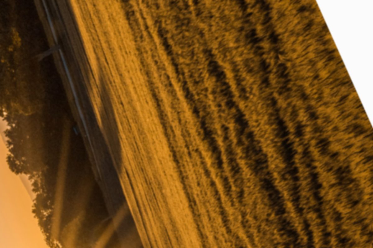
Figure 3. Agricultural parcels. Field boundaries are kept as a reference layer so that crop and fallow classes align.

Figure 4. Hillside scrub. Shadowed slopes are the usual source of false change, so they are checked twice.
The cleaned stack feeds the next step, where classes are assigned.